Making a software defined GPS receiver
I recently finished the UT aerospace course “GNSS Signal Processing”, where the goal is to create the full signal processing chain inside a GPS receiver. This means you can simulate a receiver on your compute which can process the raw samples from an RF front end and create the pseudorange and carrier phase measurements (which is 1 step away from finding your position). The idea of being able to plug in an antenna to my computer and pop out my position seemed incredibly cool to me. I started looking into what software defined radio was, and I found out that it’s now super cheap/easy to get started with SDR hardware. To make a challenge for myself, I wanted to not only produce the receiver measurements, but calculate my own position using a real antenna from my computer at the end of the semester.
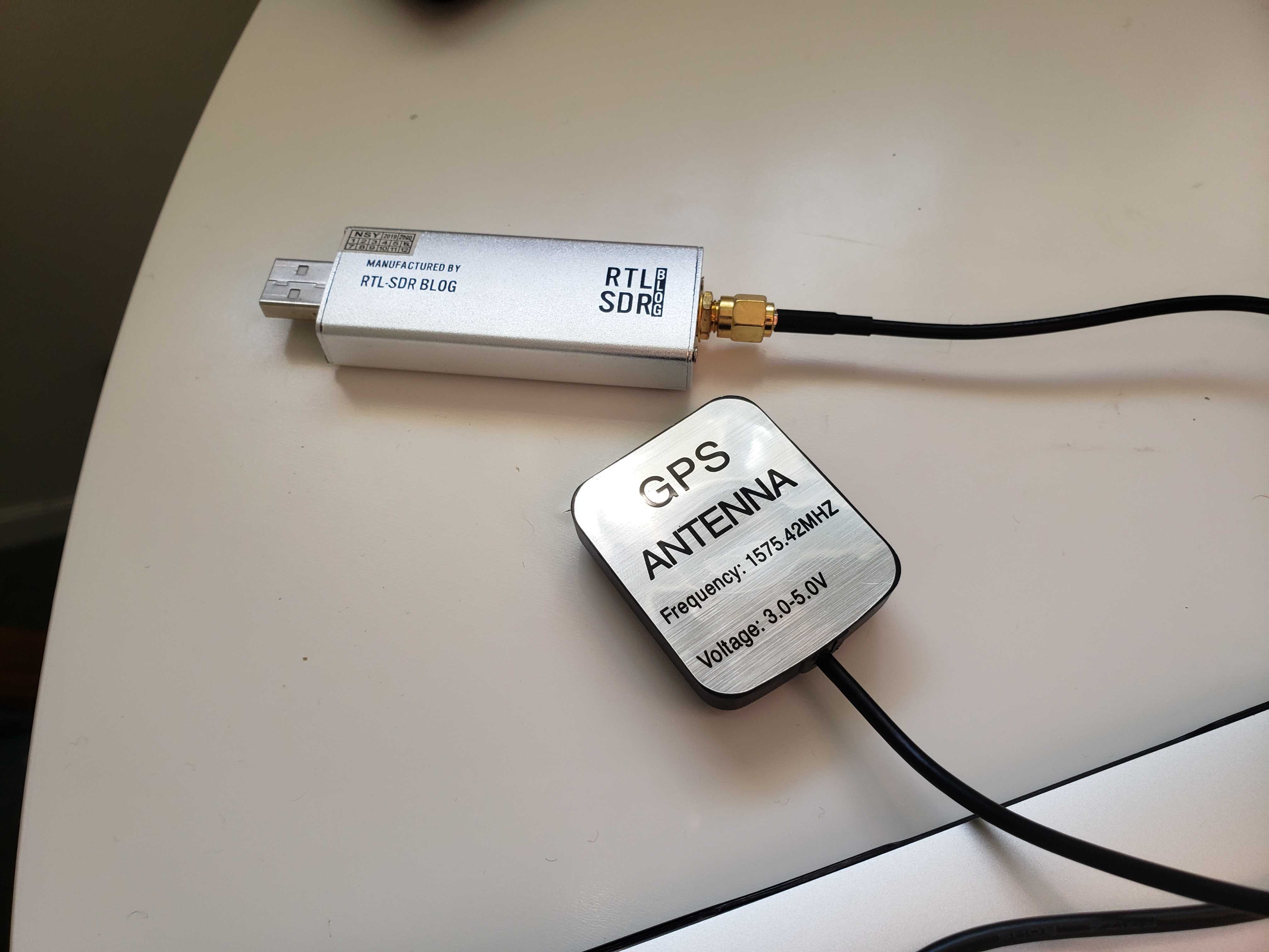
I found a $10 GPS patch antenna and the $25 RTL-SDR USB dongle to create the IQ samples, which seemed like the cheapest viable option (although some people warned me these might be too cheap to work for GPS).
After finishing the final exam (where we were given data to acquire and track satellites from a mystery dataset), I started searching for what changes would be needed to work with my RTL-SDR.
It only took some minor struggling to figure out what type of data the rtl_sdr command outputs (for the curious, it’s ibyte data).
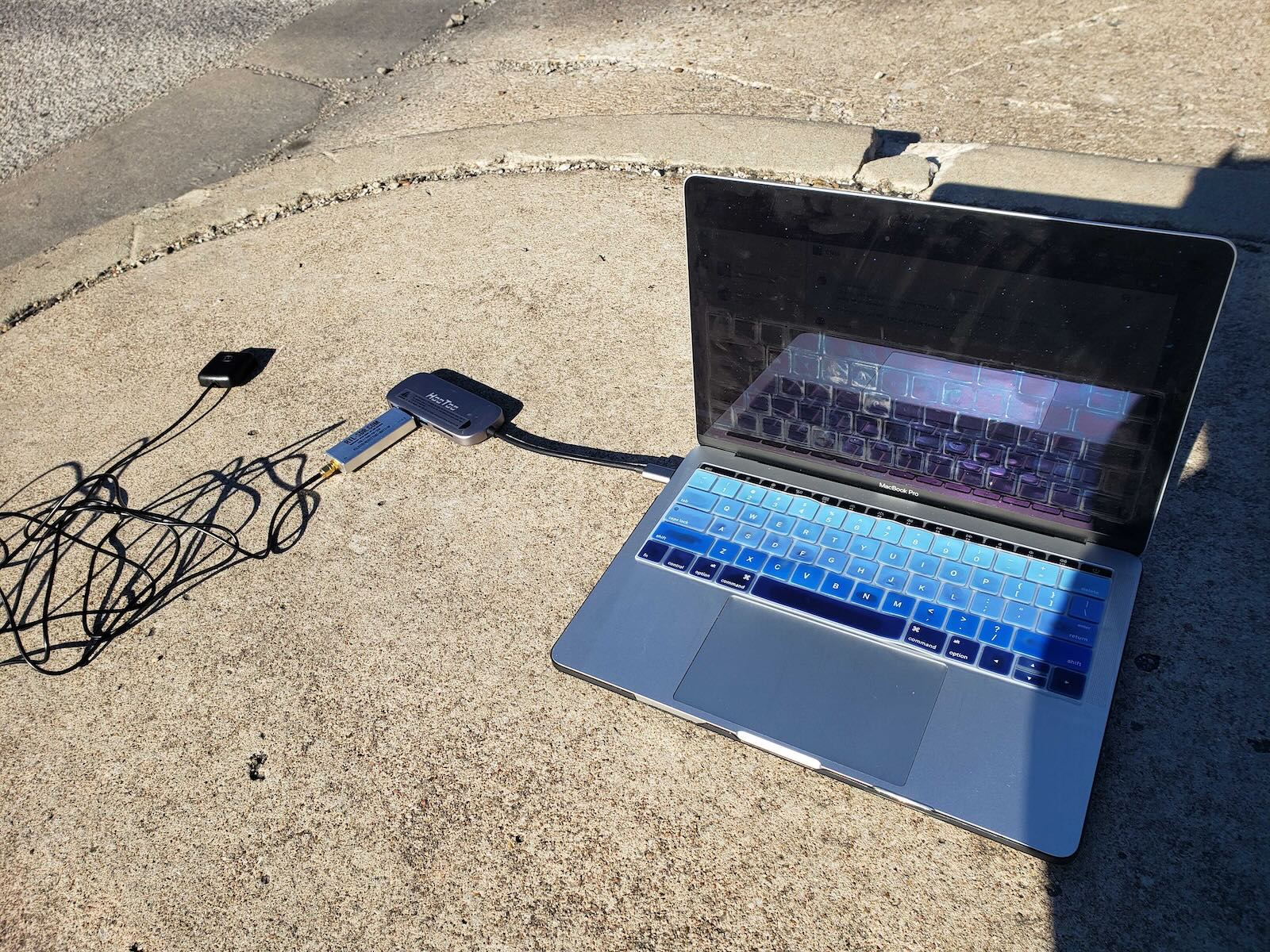
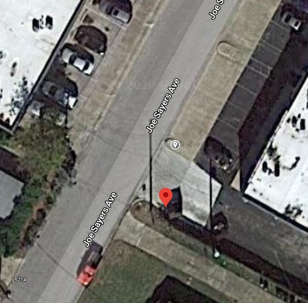
I went outside to collect a minute of data, then held my breath as my acquistion code ran and tried to pick out any satellites in the sky.
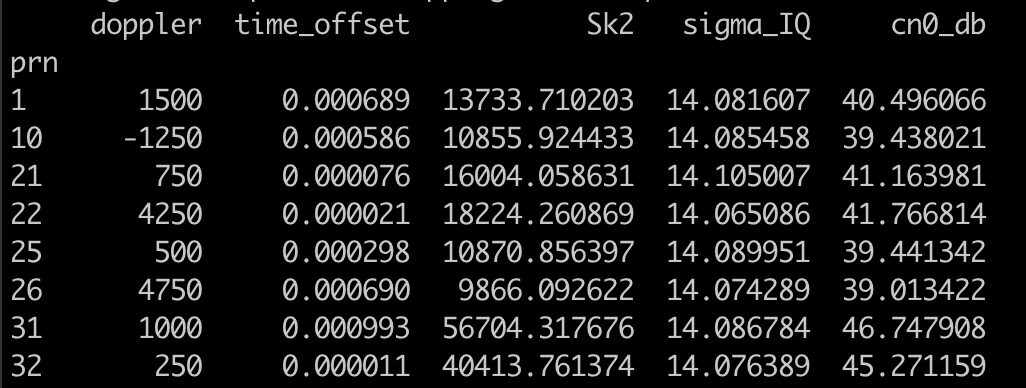
To my surprise, on the first (correctly formatted) run of the code, it picked out 8 satellites. It seemed like it was too many to be a fluke, but I had to check what was really there:
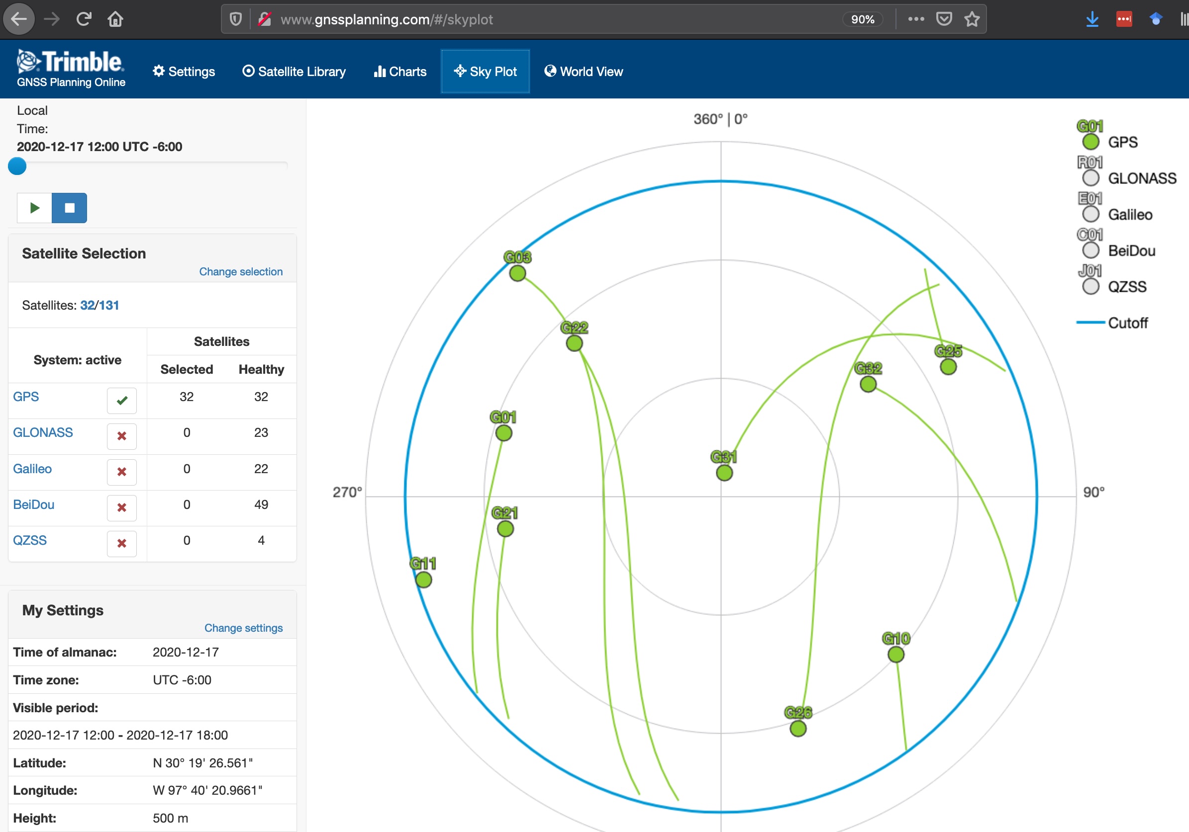
I had picked out 8 of the 10 satellites sitting over Austin at the time, and the two low-elevation misses were probably due to my bad data-collection spot near a building.
Once I had written the final (tedious) part to decode the navigation bits and get the satellite times (skipping a bit of the orbital calculations from some internet help), my final position was not so bad for the hacky code that produced it: